This degree programme will be offered for the first time in the winter semester 2025/26. Information on content will be added on an ongoing basis.
Spatial Data Science and GeoCommunication (Master)

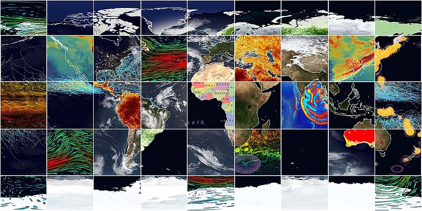
© Universität Wien / Arbeitsgruppe Kartographie und Geoinformation des Instituts für Geographie und Regionalforschung
The aim of the Master's programme Spatial Data Science and GeoCommunication at the University of Vienna is to deepen students' geographical expertise and skills with a special focus on the integration of practice-relevant information technology knowledge of spatial data science, geoinformatics, geographic artificial intelligence (GeoAI) and geo-communication. The understanding, selection and application of modern data and theory-driven methods of spatial data sciences should go hand in hand with a deep understanding of the concrete challenges in fields such as population geography, spatial and urban planning, economic geography, geomorphology, geoecology and digital geography. In line with the two-pillar model of data science, the aim is to teach geography and geoinformation technology in equal measure. Today's challenges such as sustainability, climate change, artificial intelligence, digital transformation and the global conflicts arising from these require not only interdisciplinary research approaches, but also the ability to communicate results visually across domain boundaries.
Master of Science
Degree Programme Code: 066 856
4 semesters / 120 ECTS credits
NO entrance examination
Facts & Figures
- Students: n.a.
- Graduates in the last academic year: n.a.
- Number of semesters needed for graduation (median): n.a.
Data updated on: 03.12.2024
Attention
Instruction Language German
Please note that the instruction language of this programme is German. To start the degree programme, you need to hold a certificate of German proficiency on C1 level.
Admission Procedure
Information about the admission procedure
Admission requirements
Admission to the program requires completion of qualitative admission requirements in the prerequisite programme, for example via the extension curriculum "Geoinformatik" (information in German).
Information on Previous Studies:
In any case eligible degree programmes at the University of Vienna:
Study Programme
The master's programme consists of the following compulsory modules:
- Geography Pool (20 ECTS)
- Spatial Data Science and GeoCommunication Core Skills (20 ECTS)
- Technical Skills (10 ECTS)
- Domain Skills (10 ECTS)
- Spatial Data Science and GeoCommunication Specialisation (20 ECTS)
- Doing Spatial Data Science (10 ECTS)
- Individual Specialisation (20 ECTS)
- Master's Thesis Seminars (7 ECTS)
as well as the Master's Thesis (21 ECTS) and the Public Defence (2 ECTS).
Five Concepts
which you will deal with during your studies:
- Geodata Management
- modeling and simulation
- Programming and automation
- Interactive web/3D visualisation
- GeoAI and Machine Learning
... and many more.
Overview of the programme structure & topics
Here you find the current offer of courses for this programme to gain better insight into the topics and structure. For more information please click on the respective level.
After Graduation
The Master's programme teaches both scientific and practical aspects of spatial data science, which are useful for future careers in terms of lifelong learning and also prepare students for a possible doctoral programme. Career opportunities for graduates include positions as geodata analysts, GIS specialists, spatial data scientists, geomarketing specialists, mobility and transport data analysts, location analysts, cartographers and geocommunication specialists in industry, science and public institutions, as well as in new and growing professional fields in which geographical expertise is combined with data science skills.
Graduates are particularly suited to and employed in all activities in business and public institutions that are related to spatial information processing, such as:
- Ecology/landscape ecology
- Hydrology & climatology
- Environmental protection & nature conservation
- Urban & regional research
- Spatial, urban & regional planning
- Market & opinion research
- Population research & demography
- Tourism & leisure sector
- Regional development
- Geoinformatics
- Cartography & geovisualisation
- Publishing
- Statistical offices & institutions
- Education
- Science & research
- International organisations
Graduates' Perspective on the Degree Programme
Graduates ...
- find employment within 2 months after graduation on average.
- earn an average of € 2,846 (women) and € 3,143 (men) gross per month within three years after graduation.
- work full time at a percentage of 81% (women) and 84% (men) within three years after graduation.
*You can find further information on career entry and career paths in the tracking of graduates "MA Geography".
